Weather Hotel Roma Torbole sul Garda
Satellite

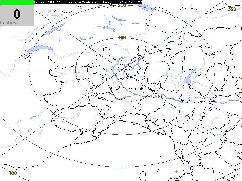
Lightning Detector - REAL-TIME MONITORING LIGHTNING
READ THE MAP
The map is automatically updated every 15 minutes and represents the lightning strikes registered by the antenna of the pre-alpine geophysical center in Varese.
Especially in the alpine region the location of lightning strikes can be subject to a certain degree of in accuracy due to reception partially disturbed by the mountains.
The lightning strikes registered in the last minute are recorded in the top left corner.
The lightning strikes are represented by dots (from cloud to ground) or by arrows (from cloud to cloud).
Different colours distinguish the time of registration of lightning strikes.

